![]() Stonington Coastal Adaptation Project
Stonington Coastal Adaptation Project
Documents and Presentations
Waterfront Photos of Highest Annual Tide
Flooding Scenario Maps
 1. Two-Foot Sea Level Rise |
2. Estimated Valuation of Property Threatened by Flooding (Rev 2/22/16) |
3. Potential Hurricane Inundation Map Class 1 & 2 (Rev 2/22/16) |
|
Additional Flood Scenario Maps
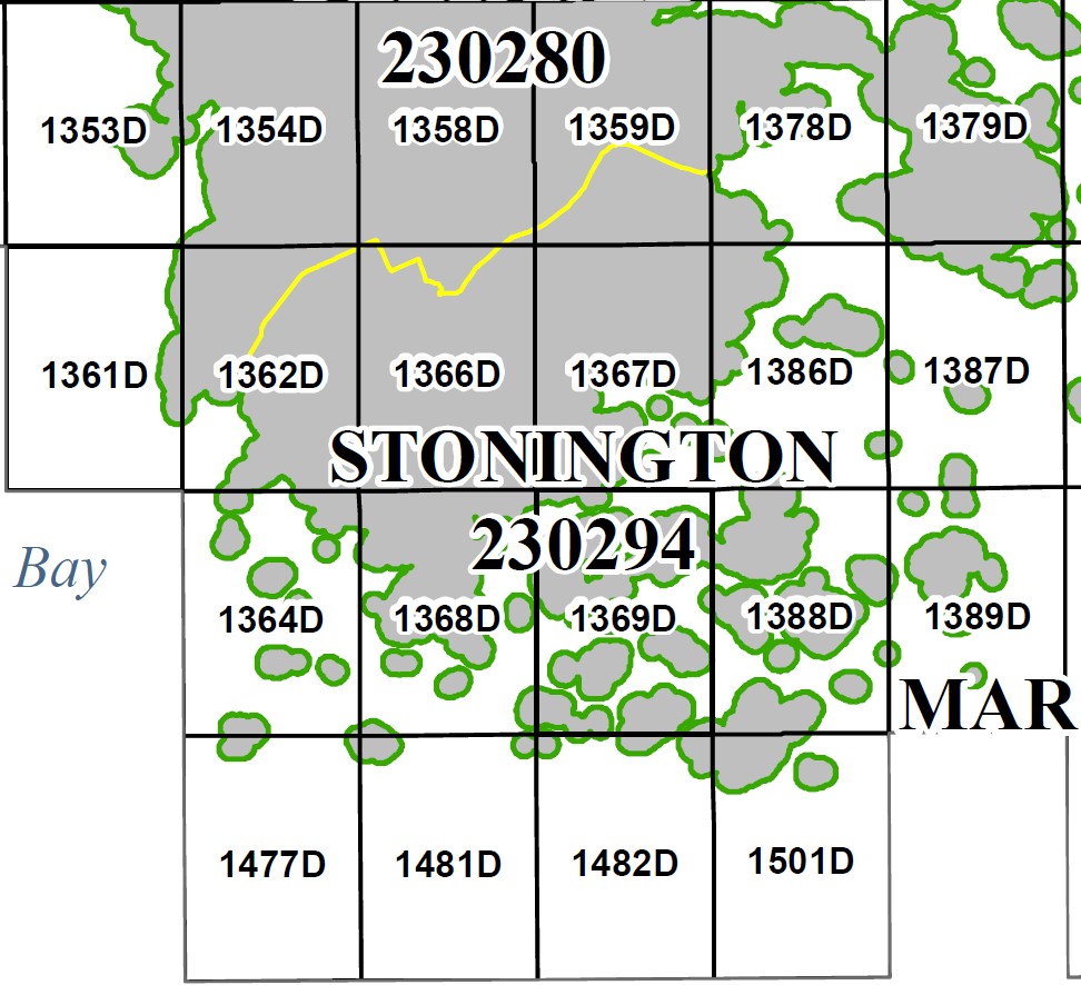
Stonington Flood Insurance Preliminary Map
More preliminary maps are available on the HCPC Website and through the Preliminary Map Products Query Tool.
Links
Note: These documents were prepared by Hancock County Planning Commission under award CZM NA14NOS4190066 to the Maine Coastal Program from the National Oceanic and Atmospheric Administration, U.S. Department of Commerce. The statements, findings, conclusions, and recommendations are those of the author(s) and do not necessarily reflect the views of the National Oceanic and Atmospheric Administration or the Department of Commerce.


