
Documents
Maps
- Beginning with Habitat (PDF 2017)
- Conservation Easements (JPG 2003)
- Dodge Plan Overlay (PDF 2013)
- Land Use (JPG 2003)
- Parcel and Contour Map (PDF)
- Roads & Parcels Map (PDF 2012)
- Soils Potential Ratings for Low Density Development Development (JPG 2003)
- Topography and Wetlands (JPG)
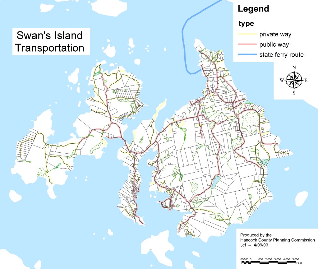
- Transportation (JPG 2003)
- Transportation Map with Aerial Image (PDF 2012)
- Wildlife Habitat (JPG 2003)



Data
- Census Data
- Parcel Map (Shapefile 2003)
- Parcel Data (Shapefile 2011)